header-bg.png

innovative agriculture solutions


based in California’s Salinas Valley, Agrigator Solutions specializes in crop management and soil health—offering practical, tailored support to boost yields.

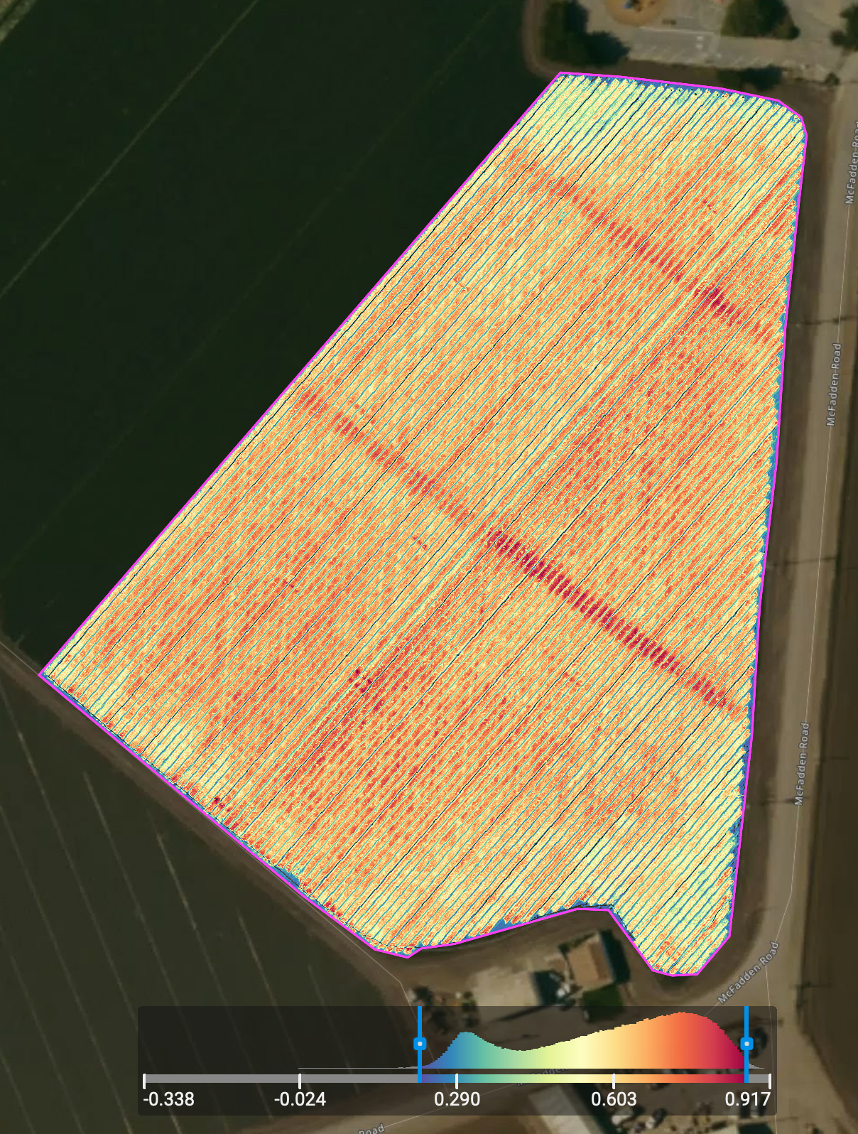
aerial trial evaluation

nature, texture, iceland, moody, photography, otherworldly iceland, underground, underworld, otherwordly, woodland,
A satellite image of agricultural fields with a health map overlay showing vegetation health through color coding, where red indicates less healthy vegetation and green indicates healthier vegetation.

aerial drone technology captures high-resolution images and data from above, giving growers insights into crop health, soil conditions, irrigation efficiency, and pest or disease issues.

contact

connect with agrigator solutions today to learn more about tailored solutions for your operation.

Aerial view of farmland with green and black crops, greenhouses, and distant mountains under a partly cloudy sky.
Aerial view of agricultural field with indexed crop health data, showing patchy areas of healthy and stressed vegetation, outlined in pink, adjacent to roads and other farmland.
contact us